


Names Of Special Places Along The Area Researched & Studied - Eastern Cape Place Names Along the Beaches
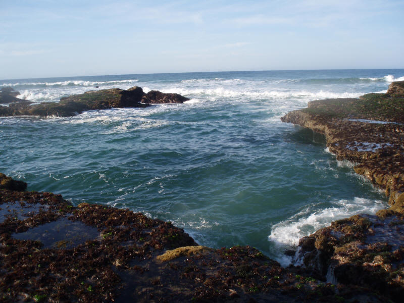
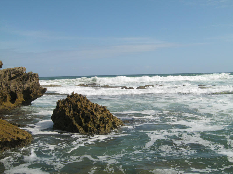
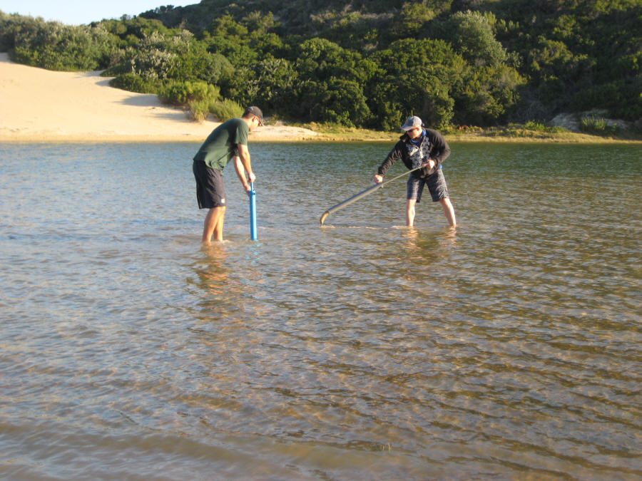
A lot of the more well known areas that we will be fishing during the research period have been named over the years or even nicknamed, and the name just stood. To get a better idea of the areas that will be covered, please have a look at the maps here. There are 4 research areas which can be seen at the link above and these research areas will be mentioned in the table as well, rivers are excluded from place names as GPS points will be given for the exact places where fish have been caught or identified. The places will be listed (In no particular order) below, along with GPS points. As the research goes along there will be a map on this page of the exact locations of the spot and what they look like... Areas that have been named by us will have an asterisk next to them in the table below. The names of these areas will be mentioned frequently in the research in other parts of this website and in the PDF book. * refers to a place named by Fish The Sea *
| Name | Area | GPS Points | Photograph |
| Bushman's River Mouth | Area 1 | S 33°41'35.25" E 26°39'52.54" |
|
| Bat's Cave | Area 1 | S 33°41'44.31" E 26°39'56.23" |
 |
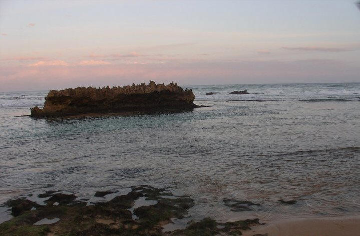
| The Rocking Horse | Area 1 | S 33°41'42.70" E 26°40'01.65" |
 |
| Mermaid's Pool | Area 1 | S 33°41'38.25" E 26°40'15.15" |
|
| Blue Pool | Area 1 | S 33°41'30.98" E 26°40'26.48" |
 |
| Whales Back | Area 1 | S 33°41'25.60" E 26°40'36.70" |
 |
| Kariega River Mouth | Area 1 | S 33°40'55.81" E 26°41'06.41" |
 |
| Kariega Rocks | Area 1 | S 33°40'56.72" E 26°41'17.51" |
 |
| High Rocks | Area 1 | S 33°40'52.89" E 26°41'43.01" |
 |
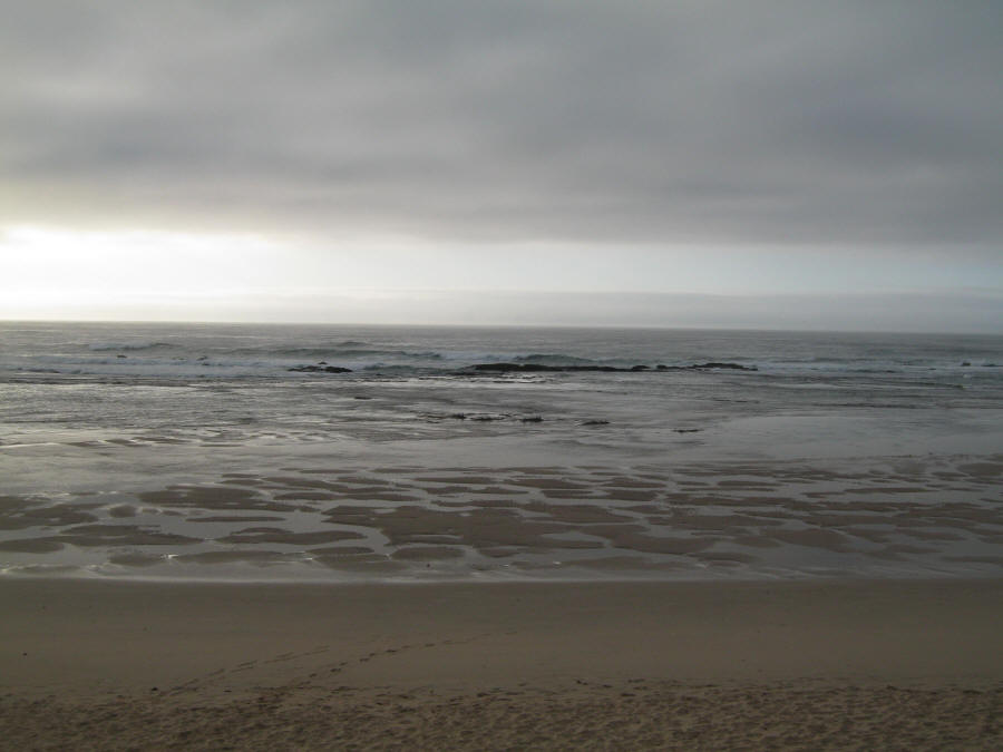
| *Stumpy Bay | Area 1 | S 33°39'42.90" E 26°43'49.55" |
|
| Ogilvie's | Area 1 | S 33°39'42.90" E 26°43'49.55" |
 |
| Jimmy's Bay | Area 1 | S 33°39'34.61" E 26°43'56.79" |
 |
| Ship Rock | Area 2 | S 33°38'56.09" E 26°45'32.81" |
 |
| Piano Rock | Area 2 | S 33°39'01.75" E 26°45'20.32" |
 |
| The Wreck | Area 2 | S 33°38'21.96" E 26°47'32.37" |
|
| Fish River Surf | Area 3 | S 33°29'56.60" E 27°08'03.24" |
|
| Fish River Point | Area 3 | S 33°30'15.10" E 27°08'02.24" |
 |
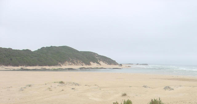
| Roman Bay | Area 3 | S 33°31'50.04" E 27°04'57.83" |
|
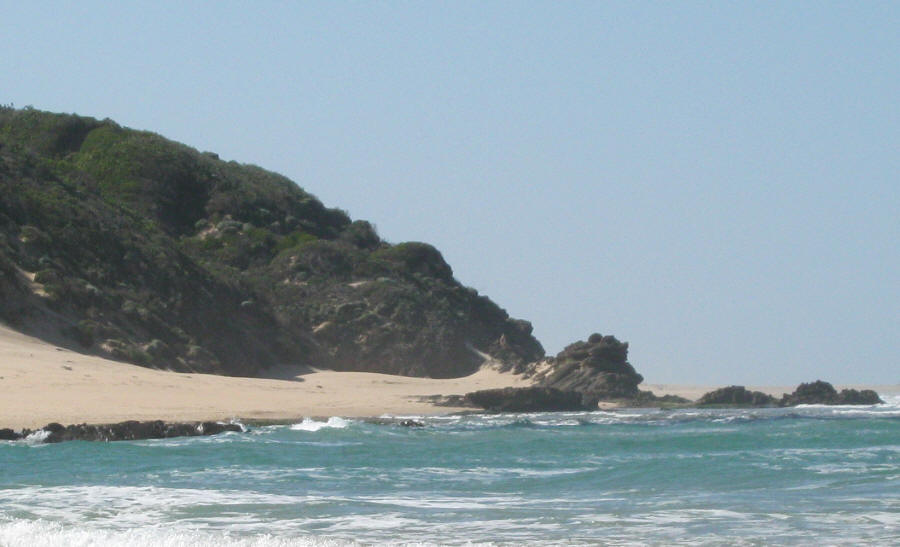
| Roman Rocks | Area 3 | S 33°31'56.91" E 27°04'38.06" |
 |
| Kleinemonde Point | Area 3 | S 33°33'06.60" E 27°02'31.09" |
 |
| *Riet Reef | Area 3 | S 33°33'37.87" E 27°01'21.42" |
|
| Three Sisters | Area 3 | S 33°33'30.75" E 27°01'47.65" |
|
| Kasouga | Rivers | S 33°39'12.07" E 26°44'02.19" |
 |
| Kleinemonde West | Rivers | S 33°32'27.81" E 27°02'38.30" |
 |
| Kleinemonde East | Rivers | S 33°32'20.53" E 27°02'47.89" |